Planning
& Surveys
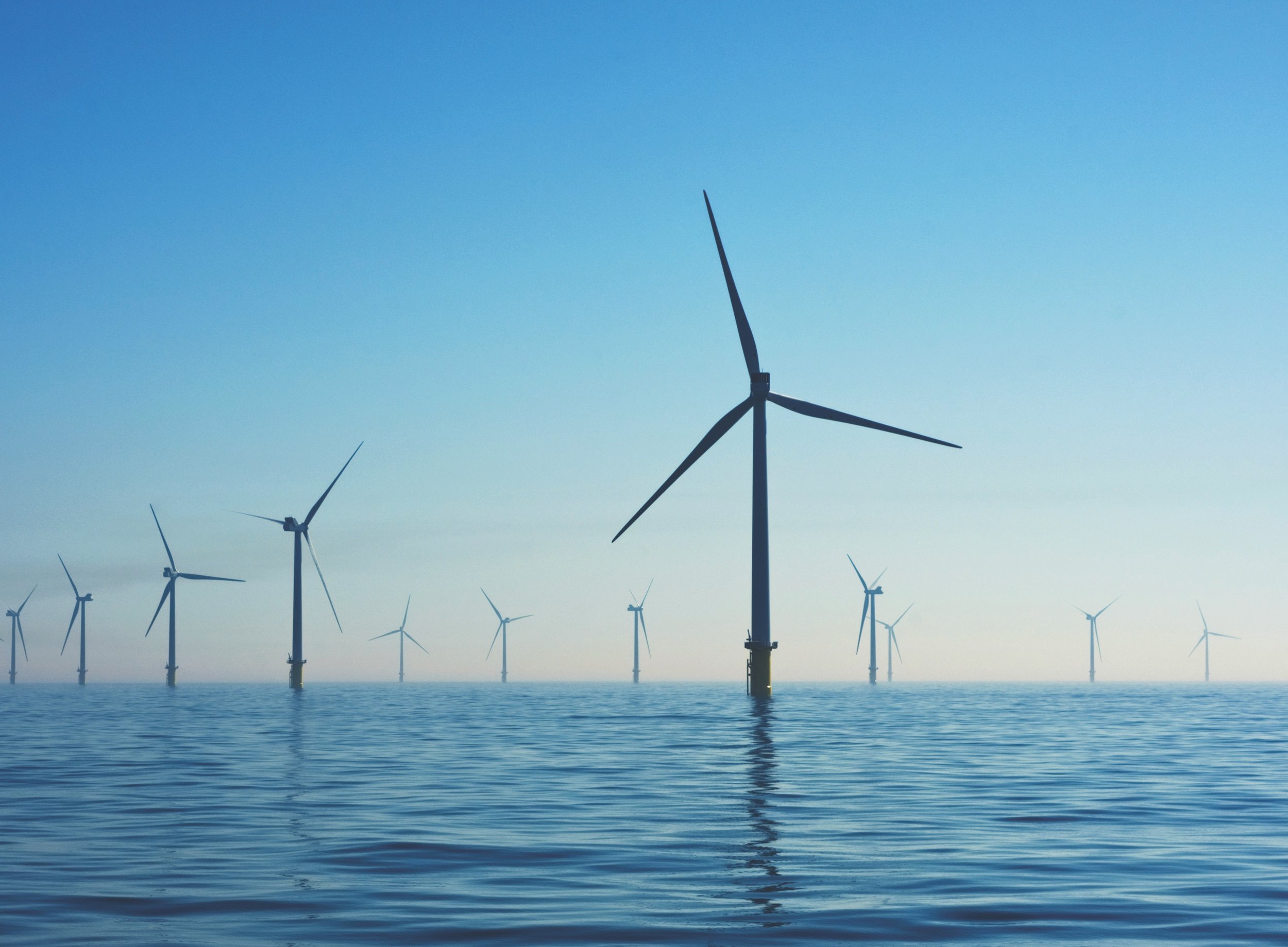
Gippsland Skies will complete comprehensive multi-year marine survey programmes, as part of detailed environmental assessment, approval and licencing processes.
These steps ensure environmental sensitivities are central to the project layout and design at the earliest stage.
Environment and planning approvals
We will need to secure a range of approvals under State and Commonwealth legislation.
For the development as a whole, Gippsland Skies will assess the potential social and environmental effects of the project through what is likely to be a coordinated Environmental Impact Statement and Environmental Effects Statement processes.
Early marine surveys will help inform the scope of these assessments.
As part of the approvals process, there will be regular opportunities for consultation between Gippsland Skies and interested stakeholders, local communities and the broader public so that interests and concerns about the project can be factored into the environmental assessments.
Marine surveys
The feasibility licence award is the first step in the process of undertaking multi-year detailed marine surveys.
The objective of the marine survey programme is to provide information on:
the nature and shape of the seabed,
seabed geology,
wind resource, wave and tide conditions,
and physical, biological and cultural heritage characteristics of the environment.
State and Federal approvals will be sought before surveys commence. We recognise the importance of open communication with stakeholders and users of the offshore environment (such as fishing industry and commercial shipping).
We will be seeking information from stakeholders about offshore operations, including key sites or locations, vessels and gear types used to help us understand potential impacts during surveys and future project development.
If you would like to provide feedback on our proposed survey programme, please click here.
Once the marine survey programme is approved, we’ll provide regular notifications to mariners in relation to our proposed survey locations and times.
Image 1: Indicative Geophysical survey
Geophysical surveys map the surface of the seabed and geological structures below the seabed using sound waves generated by specialist equipment.
Image 2: Indicative geotechnical surveys
Geotechnical investigations provide valuable information about the geology, seabed sediments, and seabed conditions where the offshore wind project infrastructure may be situated. Specialist contractors will undertake various types of sampling including boreholes, cone penetration tests (CPT), standard penetration tests (SPT), vibrocores/gravity cores and surface soil samples.
Image 3: Biological surveys
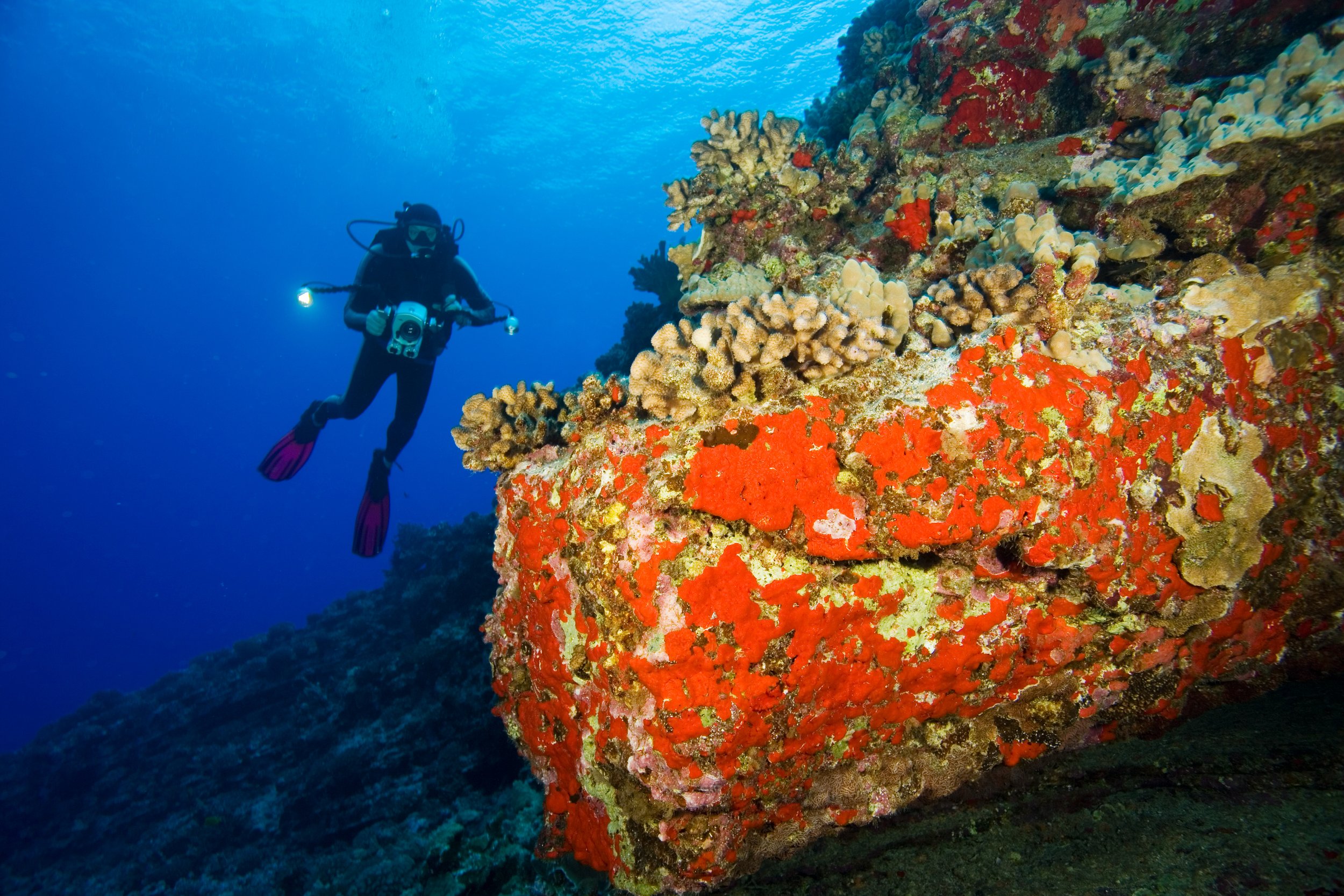
Biological surveys are required as part of the Environmental Impact Assessment process and are planned in the Feasibility Licence area and cable corridor options. These include:
Fixed wing aerial surveys - used to record images to identify birds, marine mammals, sharks and turtles by flying transects (survey lines)
Boat-based surveys – visual and baited surveys to record bird, fish and mammal diversity, abundance and seasonality of presence, collection of water samples to analyse eDNA and collection of seabed sediments to identify fauna living on and in the sediment (benthic fauna)
Walk over (foot) surveys - visual surveys along proposed coastal crossing areas to identify shorebird species and coastal habitats.
Assessing Aboriginal Cultural Heritage values
Aboriginal Cultural Heritage values are central to project planning, design and development.
We will work closely with Traditional Custodian groups to understand their values and welcome their specialist input to ensure assessments are undertaken appropriately.
Onshore connection
The Victorian Government agency, VicGrid, is leading the development of new shared transmission network infrastructure in Gippsland. This includes identifying connection locations for offshore wind projects and ensuring the development of necessary transmission lines to connect to the electricity grid.
Gippsland Skies has submitted to government seeking approval for offshore marine surveys of an eastern cable corridor.
The proposed eastern cable corridor extends from our proposed Project’s Feasibility Licence Area close to shore near VicGrid’s proposed initial connection point for 2GW of offshore wind at Giffard.
The cable corridor route will ultimately be dependent upon outcomes from VicGrid’s Victorian Transmission Plan and identification of connection point(s) for offshore wind determined by VicGrid.


