
Upcoming Activities
3 March 2025
Advice to Mariners
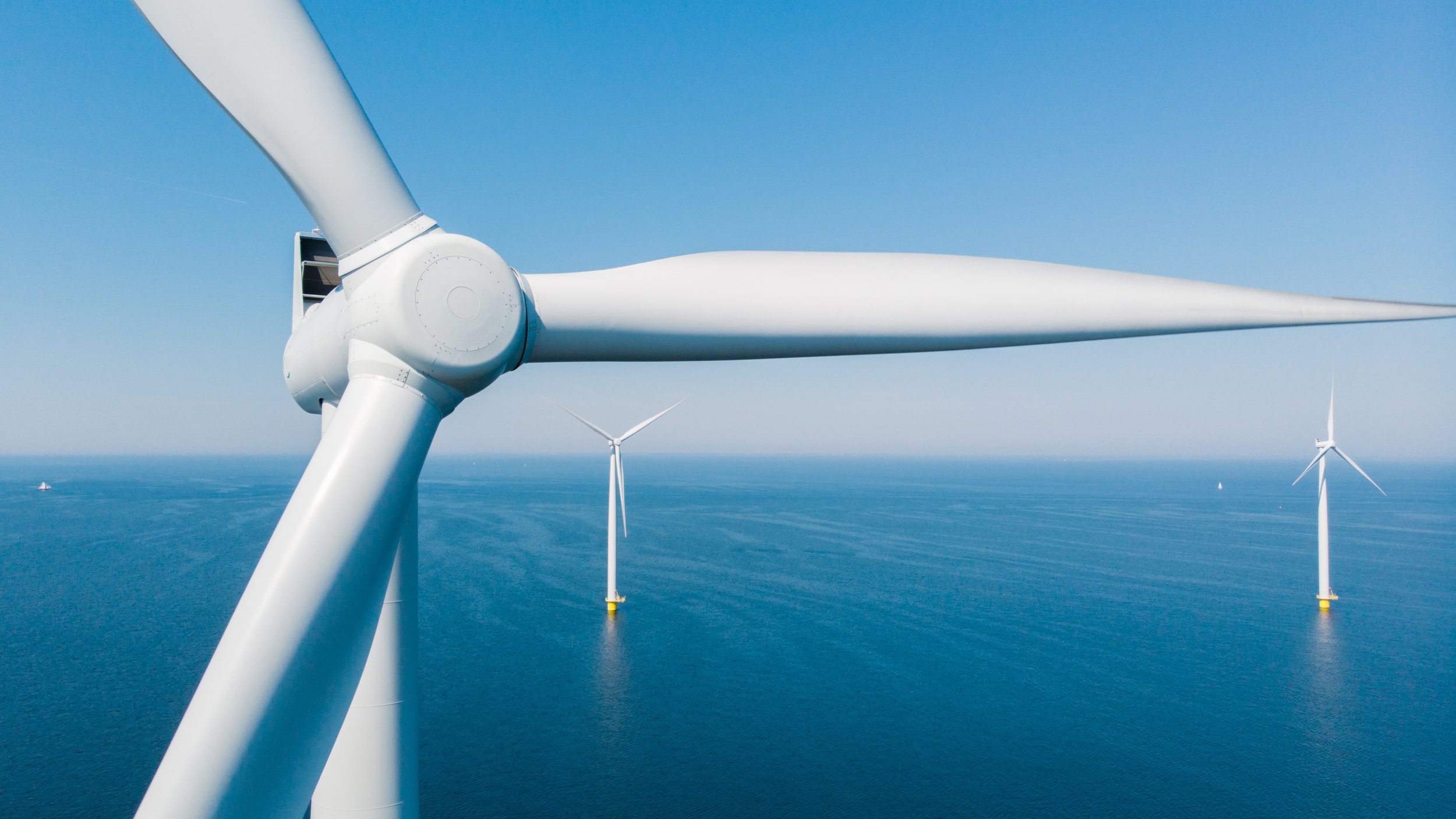
Offshore Geophysical Surveys
The Gippsland Skies Offshore Wind Project (the Project) is located off the south coast of Gippsland approximately 30km from Wilsons Promontory and 50km from Cape Liptrap. We are undertaking geophysical surveys to inform the Project’s feasibility during which a 500m safety zone for approaching vessels will be managed. This notice provides an initial overview of our planned geophysical surveys with updates to be provided in due course.
Activity description
Offshore geophysical surveys are required to map the seafloor and identify geological features on and below the seabed. The surveys will run 24 hours per day for approximately 12 weeks (subject to weather and other conditions). The first survey campaign will cover the Project’s Feasibility Licence Area. A range of environmental control measures will be implemented during the survey program to avoid or minimise potential impacts to the marine environment. Future surveys to be carried out in respect of the Project’s proposed offshore export cable corridors will be the subject of separate notice at the relevant time.
Activity period
The surveys are expected to take approximately 12 weeks (subject to weather, etc), and are currently proposed to commence in early April, subject to weather and operational conditions. Gippsland Skies will provide further information about the exact start date once this is confirmed with our contractor. We will also notify mariners once the surveys are complete, or in the event of a significant change to operations.
Activity location
The initial geophysical surveys will take place within the Project’s Feasibility Licence Area, which is located within Declared Area OEI-01-2022, Part 3. A map and geographic coordinates are provided in Figure 1. The vessel is planned to undertake the surveys at a speed of no greater than 4 knots and operate along pre-determined survey lines.
Safety zone
Gippsland Skies kindly requests that all vessels approach no closer than 500m of the vessel due to the use of submerged trailing equipment.
Vessel contact details
Vessel contact details will be provided once confirmed.
General safety advice
The vessel engaged in the marine investigation activity will exhibit appropriate lights and shapes prescribed by the International Regulations for Preventing Collisions at Sea relative to their operations. The vessel engaged in the activity will also transmit an Automatic Identification System (AIS) message.
Further notice will be issued before the surveys commence.